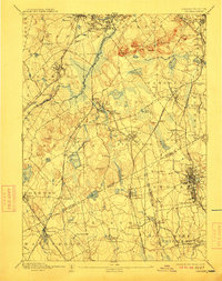
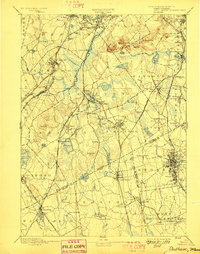
1894 Map of Dedham
USGS Topo · Published 1911About this map
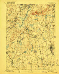
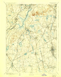
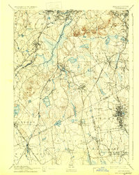
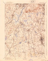
The Neponset River winds through this industrial and residential landscape south of Boston, marking a region defined by its dense network of late 19th-century rail lines. The Old Colony Railroad and the Providence Division intersect near Canton Junction, facilitating the growth of manufacturing centers like Brockton and Stoughton. This survey, based on work by S.H. Bodfish and E.W. F. Natter, reveals a terrain where glacial features and prominent summits like Great Blue Hill and Chickataubut overlook sprawling wetlands and reservoirs.
Find a feature on this map
114 named features on this map. Tap any name to fly to it.
Don’t see what you’re looking for? This feature index may not catch every label — zoom into the map to look around manually.
Map Details
Editions of this 1894 Dedham Map
10 editions found

Other maps of this area

1885 · Abington
USGS Topo · 1:62,500

1885 · Middleboro
USGS Topo · 1:62,500

1885 · Taunton
USGS Topo · 1:62,500

1886 · Dedham
USGS Topo · 1:62,500

1886 · Framingham
USGS Topo · 1:62,500

1887 · Franklin
USGS Topo · 1:62,500

1887 · Providence
USGS Topo · 1:62,500

1888 · Taunton
USGS Topo · 1:62,500

1888 · Middleboro
USGS Topo · 1:62,500

1888 · Abington
USGS Topo · 1:62,500