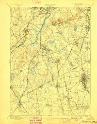
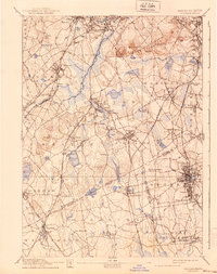
1894 Map of Dedham
USGS Topo · Published 1989About this map
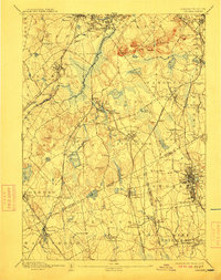
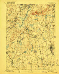
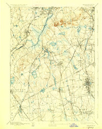
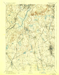
Dedham and the surrounding Norfolk County landscape appear at a pivotal moment of late 19th-century industrial and transit expansion. The dense network of the Old Colony Railroad, including the Stoughton Branch and the Providence Division, dictates the growth of industrial hubs like Brockton and smaller rail stops such as Endicott and Readville. The topography is dominated by the Blue Hill range, featuring Great Blue Hill and Chickataubut, which overlook a complex hydrology of glacial ponds and wetlands. Significant water bodies like Massapoag Pond and the Neponset River weave through townships, while smaller settlements like Springdale, Ellis, and Ashcroft illustrate the granular settlement patterns of the era. The mapping of the Norfolk and Plymouth County boundary line highlights the administrative divisions between these growing manufacturing and residential centers.
Find a feature on this map
117 named features on this map. Tap any name to fly to it.
Don’t see what you’re looking for? This feature index may not catch every label — zoom into the map to look around manually.
Map Details
Editions of this 1894 Dedham Map
10 editions found

Other maps of this area

1885 · Abington
USGS Topo · 1:62,500

1885 · Middleboro
USGS Topo · 1:62,500

1885 · Taunton
USGS Topo · 1:62,500

1886 · Dedham
USGS Topo · 1:62,500

1886 · Framingham
USGS Topo · 1:62,500

1887 · Franklin
USGS Topo · 1:62,500

1887 · Providence
USGS Topo · 1:62,500

1888 · Taunton
USGS Topo · 1:62,500

1888 · Middleboro
USGS Topo · 1:62,500

1888 · Abington
USGS Topo · 1:62,500