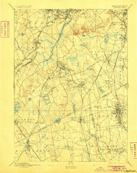
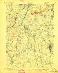
1894 Map of Dedham
USGS Topo · Published 1905About this map
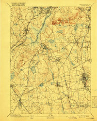
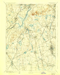
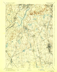
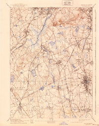
Dedham and the burgeoning industrial corridor of the late 19th century define this landscape south of Boston. The Neponset River winds through the northern sections, powering local development near Hyde Park and Readville. This survey showcases an intricate network of rail lines that were the lifeblood of Norfolk County commerce, including the extensive Old Colony Railroad and its various branches. The terrain transitions from the marshy lowlands surrounding Ponkapoag Pd. to the prominent heights of Great Blue Hill, which anchors the northern ridge. To the south, the city of Brockton appears as a dense hub of activity, surrounded by satellite settlements like Avon and Stoughton. Genealogists and historians can trace the early residential layout of neighborhoods such as Oakdale and Endicott, while water features like Massapoag Pond and Reservoir Pond highlight the importance of local reservoirs during this era of rapid municipal growth.
Find a feature on this map
123 named features on this map. Tap any name to fly to it.
Don’t see what you’re looking for? This feature index may not catch every label — zoom into the map to look around manually.
Map Details
Editions of this 1894 Dedham Map
10 editions found

Other maps of this area

1885 · Abington
USGS Topo · 1:62,500

1885 · Middleboro
USGS Topo · 1:62,500

1885 · Taunton
USGS Topo · 1:62,500

1886 · Dedham
USGS Topo · 1:62,500

1886 · Framingham
USGS Topo · 1:62,500

1887 · Franklin
USGS Topo · 1:62,500

1887 · Providence
USGS Topo · 1:62,500

1888 · Taunton
USGS Topo · 1:62,500

1888 · Middleboro
USGS Topo · 1:62,500

1888 · Abington
USGS Topo · 1:62,500