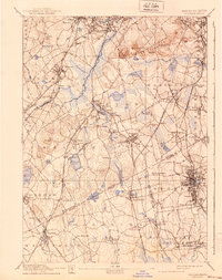
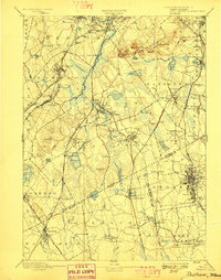
1894 Map of Dedham
USGS Topo · Published 1940About this map
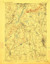
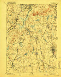
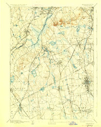
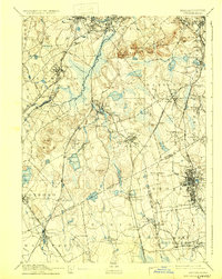
The Neponset River and the ancient man-made channel of Mother Brook define the industrial and natural landscape of this region during the late nineteenth century. Flowing from Dedham through Hyde Park, these waterways supported the early mill culture of the South Shore and provided the backdrop for a rapidly densifying residential network. The terrain is marked by the prominent heights of the Blue Hills Reservation, including Great Blue Hill and Chickataubut, which overlook the expanding rail corridors of the Old Colony Railroad and the Providence Division. Dense urban clusters at Brockton and Campello contrast with the open water of Massapoag Pond and the extensive wetlands surrounding the Neponset Reservoir. This survey captures the area as it transitioned from a collection of discrete villages like Islington and Ashcroft into a contiguous suburban and industrial belt connected by a complex system of branch lines.
Find a feature on this map
123 named features on this map. Tap any name to fly to it.
Don’t see what you’re looking for? This feature index may not catch every label — zoom into the map to look around manually.
Map Details
Editions of this 1894 Dedham Map
10 editions found

Other maps of this area

1885 · Abington
USGS Topo · 1:62,500

1885 · Middleboro
USGS Topo · 1:62,500

1885 · Taunton
USGS Topo · 1:62,500

1886 · Dedham
USGS Topo · 1:62,500

1886 · Framingham
USGS Topo · 1:62,500

1887 · Franklin
USGS Topo · 1:62,500

1887 · Providence
USGS Topo · 1:62,500

1888 · Taunton
USGS Topo · 1:62,500

1888 · Middleboro
USGS Topo · 1:62,500

1888 · Abington
USGS Topo · 1:62,500