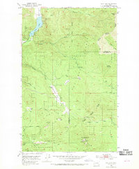
1952 Map of Deep Lake
USGS Topo · Published 1970About this map
Mining and timber activities dominate this mid-century survey of the Selkirk Mountains region, where a concentration of prospects and active sites like the Bechtol Mine, Thompson Iron Mine, and Tyee Mine dot the slopes surrounding Deep Lake. The industrial footprint of the era is evident in the network of resource-extraction sites, including the Farmer Mine and Maki Mine near the headwaters of North Fork Currant Creek.
Find a feature on this map
41 named features on this map. Tap any name to fly to it.
Don’t see what you’re looking for? This feature index may not catch every label — zoom into the map to look around manually.
Map Details
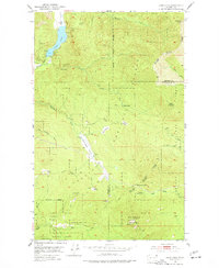
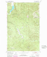
Editions of this 1952 Deep Lake Map
4 editions found
Other maps of this area

1929 · Colville
USGS Topo · 1:125,000

1933 · Colville
USGS Topo · 1:125,000

1934 · Metaline
USGS Topo · 1:125,000

1942 · Metaline
USGS Topo · 1:125,000

1952 · Spirit
USGS Topo · 1:24,000

1952 · Deep Lake
USGS Topo · 1:24,000

1952 · Leadpoint
USGS Topo · 1:24,000

1952 · Boundary
USGS Topo · 1:24,000

1952 · Aladdin
USGS Topo · 1:24,000

1958 · Sandpoint
USGS Topo · 1:250,000