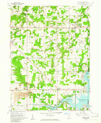
1960 Map of Deerfield
USGS Topo · Published 1961About this map
Berlin Reservoir dominates the southeastern corner of this landscape, its waters backing up into the Mahoning River valley near Carters Ford. This 1960 field check reveals a transition in land use, where traditional agriculture is punctuated by several industrial operations, including an active strip mine and scattered oil wells. The social fabric of the era is anchored by numerous rural burial grounds such as Robinson Cem and Mottown Cem, alongside the Southeast High Sch. Infrastructure of the early 1960s is well-defined, featuring the New York Central railroad passing through Diamond, and a series of pipelines crossing the townships of Edinburg, Palmyra, and Deerfield. The map also captures recreation and community spaces, including the Akron YWCA Camp on Silver Creek.
Find a feature on this map
48 named features on this map. Tap any name to fly to it.
Don’t see what you’re looking for? This feature index may not catch every label — zoom into the map to look around manually.
Map Details
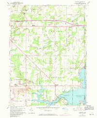
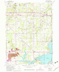
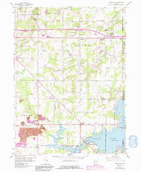
Editions of this 1960 Deerfield Map
4 editions found
Other maps of this area

1906 · Ravenna
USGS Topo · 1:62,500

1908 · Warren
USGS Topo · 1:62,500

1908 · Ravenna
USGS Topo · 1:62,500

1909 · Alliance
USGS Topo · 1:62,500

1909 · Lisbon
USGS Topo · 1:62,500

1950 · Cleveland
USGS Topo · 1:250,000

1951 · Canton
USGS Topo · 1:250,000

1952 · Lake Milton
USGS Topo · 1:24,000

1952 · Alliance
USGS Topo · 1:24,000

1952 · Damascus
USGS Topo · 1:24,000