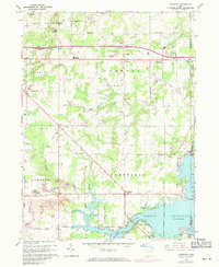
1960 Map of Deerfield
USGS Topo · Published 1971About this map
The Mahoning River and the extensive waters of the Berlin Reservoir dominate the southern landscape of this Portage County survey. Grounded in 1952 photography with 1970 revisions, the map reveals a transition between rural crossroads and emerging industrial footprints. The village of Deerfield sits just north of the reservoir, while further north, the community of Diamond marks the intersection of the Penn Central railroad and local trade routes.
Find a feature on this map
44 named features on this map. Tap any name to fly to it.
Don’t see what you’re looking for? This feature index may not catch every label — zoom into the map to look around manually.
Map Details
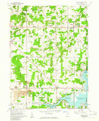
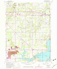
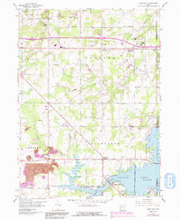
Editions of this 1960 Deerfield Map
4 editions found
Other maps of this area

1906 · Ravenna
USGS Topo · 1:62,500

1908 · Warren
USGS Topo · 1:62,500

1908 · Ravenna
USGS Topo · 1:62,500

1909 · Alliance
USGS Topo · 1:62,500

1909 · Lisbon
USGS Topo · 1:62,500

1950 · Cleveland
USGS Topo · 1:250,000

1951 · Canton
USGS Topo · 1:250,000

1952 · Lake Milton
USGS Topo · 1:24,000

1952 · Alliance
USGS Topo · 1:24,000

1952 · Damascus
USGS Topo · 1:24,000