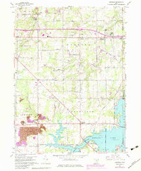
1960 Map of Deerfield
USGS Topo · Published 1979About this map
Berlin Lake and the Mahoning River dominate the southern landscape of this Portage County region, where the industrial and agricultural heritage of the Connecticut Western Reserve is clearly visible. The survey captures the area at a point of transition, showing the infrastructure of the Ohio Turnpike and Interchange 48 cutting through the northern townships of Edinburg and Palmyra. Evidence of the local economy appears in the Strip Mine near Atwater and the Claypit and Kilns further east, alongside numerous oil wells.
Find a feature on this map
53 named features on this map. Tap any name to fly to it.
Don’t see what you’re looking for? This feature index may not catch every label — zoom into the map to look around manually.
Map Details
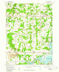
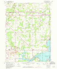
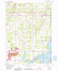
Editions of this 1960 Deerfield Map
4 editions found
Other maps of this area

1906 · Ravenna
USGS Topo · 1:62,500

1908 · Warren
USGS Topo · 1:62,500

1908 · Ravenna
USGS Topo · 1:62,500

1909 · Alliance
USGS Topo · 1:62,500

1909 · Lisbon
USGS Topo · 1:62,500

1950 · Cleveland
USGS Topo · 1:250,000

1951 · Canton
USGS Topo · 1:250,000

1952 · Lake Milton
USGS Topo · 1:24,000

1952 · Alliance
USGS Topo · 1:24,000

1952 · Damascus
USGS Topo · 1:24,000