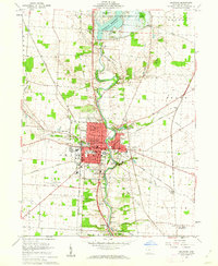
1960 Map of Delaware
USGS Topo · Published 1962About this map
The Olentangy River serves as the central artery for this mid-century survey of Delaware, cutting a path through the city's concentrated grid and the surrounding farmland of the United States Military District. Delaware is shown during a period of institutional prominence, anchored by the sprawling campus of Ohio Wesleyan University and several civic landmarks including the Courthouse and City Hall. To the north, the Delaware Reservoir Wildlife Area marks a shift toward conservation and public recreation at the edge of the Delaware Reservoir.
Find a feature on this map
62 named features on this map. Tap any name to fly to it.
Don’t see what you’re looking for? This feature index may not catch every label — zoom into the map to look around manually.
Map Details
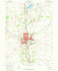
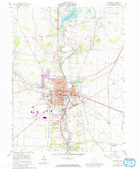
Editions of this 1960 Delaware Map
3 editions found
Other maps of this area

1901 · Dublin
USGS Topo · 1:62,500

1902 · Westerville
USGS Topo · 1:62,500

1903 · Dublin
USGS Topo · 1:62,500

1904 · Westerville
USGS Topo · 1:62,500

1915 · Marengo
USGS Topo · 1:62,500

1924 · Delaware
USGS Topo · 1:62,500

1925 · Delaware
USGS Topo · 1:62,500

1943 · Marengo
USGS Topo · 1:62,500

1944 · Delaware
USGS Topo · 1:62,500

1950 · Marion
USGS Topo · 1:250,000