
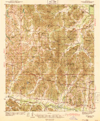
1943 Map of Denmark
USGS Topo · Published 1943About this map
Holly Springs National Forest dominates the rolling landscape of eastern Lafayette County during the early 1940s, providing a look at North Mississippi just before post-war changes. The settlement of Denmark serves as a local hub, distinguished by the Denmark Firetower and the nearby Denmark Sch. This survey captures a rural network of community life centered on numerous country schools and churches, such as Philadelphia Sch, Bethel Ch, and New York Sch. The hydrology of the region is defined by the Yocona River in the south and the winding Cypress Creek to the east. For genealogists, the map is a dense resource, locating several family-named landmarks and resting places including Jefferson Cem and Shiloh Cem, alongside small settlements like Keel and Altus.
Find a feature on this map
83 named features on this map. Tap any name to fly to it.
Don’t see what you’re looking for? This feature index may not catch every label — zoom into the map to look around manually.
Map Details
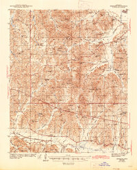
Editions of this 1943 Denmark Map
3 editions found
Other maps of this area

1940 · Oxford
USGS Topo · 1:62,500

1942 · Denmark
USGS Topo · 1:62,500

1943 · Oxford
USGS Topo · 1:62,500

1944 · Tyro
USGS Topo · 1:62,500

1944 · Potts Camp
USGS Topo · 1:62,500

1945 · Potts Camp
USGS Topo · 1:62,500

1949 · New Albany
USGS Topo · 1:62,500

1951 · New Albany
USGS Topo · 1:62,500

1954 · Water Valley
USGS Topo · 1:62,500

1955 · Water Valley
USGS Topo · 1:62,500