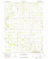
1961 Map of Denmark
USGS Topo · Published 1976About this map
The agricultural landscape of central Ohio is defined here by the meeting of the Marion Co Morrow Co line and the winding course of the Olentangy River. Recorded in the early 1960s, this area transitions from the riverside settlement of Claridon toward the village of Cardington in the southeast. The terrain is crisscrossed by an extensive network of drainage features like Tittlebaugh Ditch and Mc Kibben Ditch, reflecting the local effort to manage the fertile bottomlands for farming.
Find a feature on this map
67 named features on this map. Tap any name to fly to it.
Don’t see what you’re looking for? This feature index may not catch every label — zoom into the map to look around manually.
Map Details
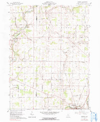
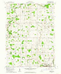
Editions of this 1961 Denmark Map
3 editions found
Other maps of this area

1903 · Marion
USGS Topo · 1:62,500

1905 · Marion
USGS Topo · 1:62,500

1913 · Mount Gilead
USGS Topo · 1:62,500

1915 · Marengo
USGS Topo · 1:62,500

1916 · Mount Gilead
USGS Topo · 1:62,500

1924 · Delaware
USGS Topo · 1:62,500

1925 · Delaware
USGS Topo · 1:62,500

1943 · Marengo
USGS Topo · 1:62,500

1943 · Mount Gilead
USGS Topo · 1:62,500

1944 · Delaware
USGS Topo · 1:62,500