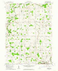
1961 Map of Denmark
USGS Topo · Published 1992About this map
The Olentangy River and Whetstone Creek define the drainage of this central Ohio landscape during the early 1960s. The region is predominantly agricultural, subdivided by a rigid grid of roads named for local families and early settlers, such as Firstenberger Road and Ruehrmond Road. Small crossroads like Denmark and Claridon serve as local hubs, while Cardington appears at the southern edge, supported by the Waterworks and the nearby Glendale Cem.
Find a feature on this map
66 named features on this map. Tap any name to fly to it.
Don’t see what you’re looking for? This feature index may not catch every label — zoom into the map to look around manually.
Map Details
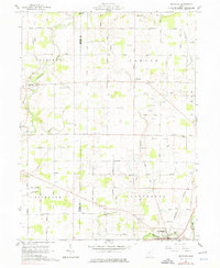
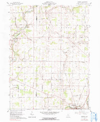
Editions of this 1961 Denmark Map
3 editions found
Other maps of this area

1903 · Marion
USGS Topo · 1:62,500

1905 · Marion
USGS Topo · 1:62,500

1913 · Mount Gilead
USGS Topo · 1:62,500

1915 · Marengo
USGS Topo · 1:62,500

1916 · Mount Gilead
USGS Topo · 1:62,500

1924 · Delaware
USGS Topo · 1:62,500

1925 · Delaware
USGS Topo · 1:62,500

1943 · Marengo
USGS Topo · 1:62,500

1943 · Mount Gilead
USGS Topo · 1:62,500

1944 · Delaware
USGS Topo · 1:62,500