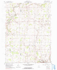
1961 Map of Denmark
USGS Topo · Published 1990About this map
Cardington and the surrounding agricultural landscape of Morrow County appear here during the early 1960s, defined by a dense network of family-named cemeteries and rural churches. The village of Denmark serves as a central landmark amidst the townships of Canaan and Richland, while the Olentangy River meanders through the northwest corner near Claridon. The transport of the era is anchored by the New York Central railroad corridor and a sprawling grid of rural routes including Marion Williamsport Road and Sayres Road.
Find a feature on this map
51 named features on this map. Tap any name to fly to it.
Don’t see what you’re looking for? This feature index may not catch every label — zoom into the map to look around manually.
Map Details
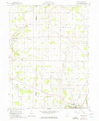
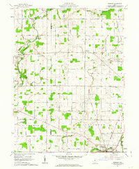
Editions of this 1961 Denmark Map
3 editions found
Other maps of this area

1903 · Marion
USGS Topo · 1:62,500

1905 · Marion
USGS Topo · 1:62,500

1913 · Mount Gilead
USGS Topo · 1:62,500

1915 · Marengo
USGS Topo · 1:62,500

1916 · Mount Gilead
USGS Topo · 1:62,500

1924 · Delaware
USGS Topo · 1:62,500

1925 · Delaware
USGS Topo · 1:62,500

1943 · Marengo
USGS Topo · 1:62,500

1943 · Mount Gilead
USGS Topo · 1:62,500

1944 · Delaware
USGS Topo · 1:62,500