
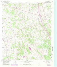
1965 Map of Dew
USGS Topo · Published 1967About this map
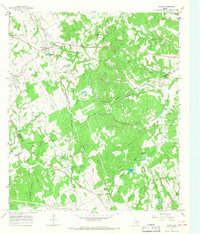
Avant Prairie and the wooded creek bottoms of central Freestone County define this mid-1960s landscape, where small agricultural settlements are connected by a network of rural roads and an extensive system of pipelines. The community of Dew serves as a local hub near the intersection of several creeks, including Browns Creek and Dugout Creek. To the southwest, the Chicago Rock Island and Pacific railroad corridor passes through Freestone, marking a significant transportation artery for the region's economy.
Find a feature on this map
31 named features on this map. Tap any name to fly to it.
Don’t see what you’re looking for? This feature index may not catch every label — zoom into the map to look around manually.
Map Details
Editions of this 1965 Dew Map
2 editions found
Other maps of this area

1919 · Fairfield
USGS Topo · 1:62,500

1920 · Mexia
USGS Topo · 1:62,500

1954 · Waco
USGS Topo · 1:250,000

1955 · Waco
USGS Topo · 1:250,000

1956 · Jewett
USGS Topo · 1:62,500

1963 · Teague North
USGS Topo · 1:24,000
1965 · Lanely
USGS Topo · 1:24,000
1965 · Buffalo
USGS Topo · 1:24,000
1965 · Fairfield
USGS Topo · 1:24,000
1965 · Donie
USGS Topo · 1:24,000