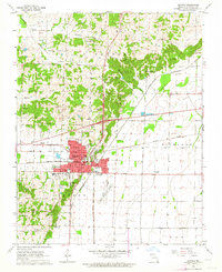
1963 Map of Dexter
USGS Topo · Published 1964About this map
The city of Dexter serves as the focal point of this 1963 survey, illustrating the community's expansion between the Missouri Pacific and St Louis Southwestern railroad corridors. The town is densely detailed, showing the Stoddard PO, City Hall, and several local campuses including Central Sch and the Jr High Sch. Beyond the urban grid, the landscape transitions into the agricultural fields of Richland and Liberty townships, crisscrossed by drainage features like the Main Ditch.
Find a feature on this map
37 named features on this map. Tap any name to fly to it.
Don’t see what you’re looking for? This feature index may not catch every label — zoom into the map to look around manually.
Map Details
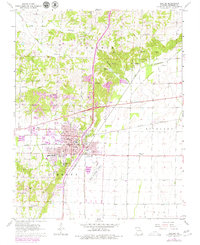
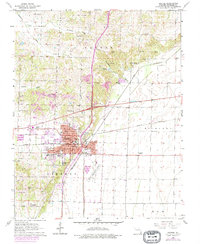
Editions of this 1963 Dexter Map
3 editions found
Other maps of this area

1934 · Bloomfield
USGS Topo · 1:62,500

1934 · Puxico
USGS Topo · 1:62,500

1939 · Bloomfield
USGS Topo · 1:62,500

1939 · Puxico
USGS Topo · 1:62,500

1940 · Malden
USGS Topo · 1:62,500

1940 · Valley Ridge
USGS Topo · 1:62,500

1949 · Bloomfield
USGS Topo · 1:62,500

1956 · Valley Ridge
USGS Topo · 1:62,500

1956 · Malden
USGS Topo · 1:62,500

1956 · Dyersburg
USGS Topo · 1:250,000