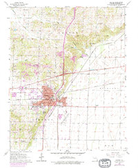
1963 Map of Dexter
USGS Topo · Published 1979About this map
Dexter serves as a vital transit hub in the Missouri Bootheel, situated at the crossing of the Missouri Pacific and St Louis Southwestern railroads. This 1963 survey, with updates from 1979, illustrates the town's mid-century expansion between the lowlands of Richland and the slightly elevated ground of Liberty. The landscape is defined by extensive drainage infrastructure, most notably the Dudley Main Ditch, which converted former wetlands into productive farmland.
Find a feature on this map
36 named features on this map. Tap any name to fly to it.
Don’t see what you’re looking for? This feature index may not catch every label — zoom into the map to look around manually.
Map Details
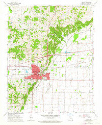
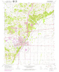
Editions of this 1963 Dexter Map
3 editions found
Other maps of this area

1934 · Bloomfield
USGS Topo · 1:62,500

1934 · Puxico
USGS Topo · 1:62,500

1939 · Bloomfield
USGS Topo · 1:62,500

1939 · Puxico
USGS Topo · 1:62,500

1940 · Malden
USGS Topo · 1:62,500

1940 · Valley Ridge
USGS Topo · 1:62,500

1949 · Bloomfield
USGS Topo · 1:62,500

1956 · Valley Ridge
USGS Topo · 1:62,500

1956 · Malden
USGS Topo · 1:62,500

1956 · Dyersburg
USGS Topo · 1:250,000