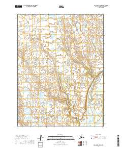
2019 Map of Dillingham A-5 NW
USGS Topo · Published 2019About this map
The Nushagak River dominates the southeastern portion of this landscape within the Dillingham Census Area, winding through a complex system of low-lying wetlands and seasonal waterways. A primary feature of this hydrologic network is the Keefer Cutoff, which branches from the main river channel to navigate the flat, saturated terrain. The absence of roads or permanent structures reflects the shifting nature of this riverine environment, where the land is defined more by water levels and seasonal flow than by human development.
Find a feature on this map
6 named features on this map. Tap any name to fly to it.
Don’t see what you’re looking for? This feature index may not catch every label — zoom into the map to look around manually.
Map Details
Editions of this 2019 Dillingham A-5 NW Map
This is the sole edition of this map. No revisions or reprints were ever made.
Other maps of this area

1951 · Dillingham
USGS Topo · 1:250,000

1952 · Dillingham A-5
USGS Topo · 1:63,360

1952 · Dillingham A-6
USGS Topo · 1:63,360

1954 · Dillingham
USGS Topo · 1:250,000

1954 · Dillingham B-6
USGS Topo · 1:63,360
1954 · Dillingham B-5
USGS Topo · 1:63,360
2019 · Dillingham A-5 SE
USGS Topo · 1:25,000
2019 · Dillingham A-5 NE
USGS Topo · 1:25,000
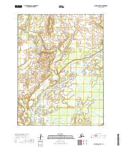
2019 · Dillingham B-5 SE
USGS Topo · 1:25,000
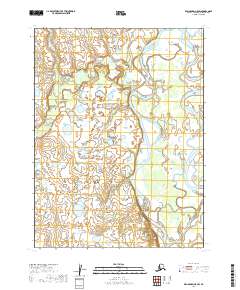
2019 · Dillingham A-5 SW
USGS Topo · 1:25,000