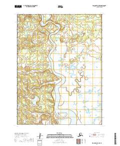
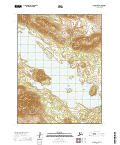
2019 Map of Dillingham A-7 NW
USGS Topo · Published 2019About this map
The Wood River dominates this landscape north of Dillingham, carving a broad, serpentine path through a network of wetlands and low-lying coastal terrain. This 2019 survey captures the complex hydrology of the region, where the Muklung River and Arcana Cr join the main channel amidst a sprawling mosaic of smaller tributaries like Silver Salmon Cr and Belt Cr. The dominance of water over dry land is the defining characteristic here, reflecting the shifting alluvial patterns and seasonal drainage typical of the Bristol Bay drainage basin.
Find a feature on this map
12 named features on this map. Tap any name to fly to it.
Don’t see what you’re looking for? This feature index may not catch every label — zoom into the map to look around manually.
Map Details
Editions of this 2019 Dillingham A-7 NW Map
This is the sole edition of this map. No revisions or reprints were ever made.
Other maps of this area

1951 · Dillingham
USGS Topo · 1:250,000

1952 · Dillingham A-8
USGS Topo · 1:63,360

1952 · Dillingham A-7
USGS Topo · 1:63,360

1954 · Dillingham
USGS Topo · 1:250,000

1954 · Dillingham B-7
USGS Topo · 1:63,360

1954 · Dillingham B-8
USGS Topo · 1:63,360
2019 · Dillingham A-7 NE
USGS Topo · 1:25,000
2019 · Dillingham A-7 SE
USGS Topo · 1:25,000
2019 · Dillingham A-8 NE
USGS Topo · 1:25,000
2019 · Dillingham B-8 SE
USGS Topo · 1:25,000