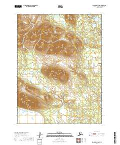
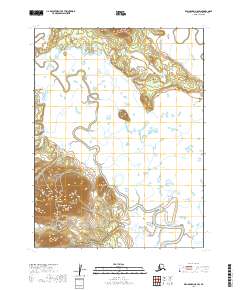
2019 Map of Dillingham A-8 NE
USGS Topo · Published 2019About this map
Aleknagik sits at the edge of this southwestern Alaskan interior, where the transition from high ridgelines to lakefront lowlands is traced by the modern road network. This 2019 survey documents the access routes through the Dillingham Census Area, specifically along the path of the Aleknagik Lake Road and the winding Snake Lake Road. The landscape is dominated by heavy contouring between the 1,500-foot peaks and the drainage basins of Silver Salmon Creek and Bear Creek. The map provides an essential look at the modern infrastructure supporting this remote settlement, including the Warehouse Mountain Road which skirts the southeastern elevations. It reflects the area's continued reliance on these specific corridors for transportation and resource access in a region defined by its water systems and high-altitude terrain.
Find a feature on this map
10 named features on this map. Tap any name to fly to it.
Don’t see what you’re looking for? This feature index may not catch every label — zoom into the map to look around manually.
Map Details
Editions of this 2019 Dillingham A-8 NE Map
This is the sole edition of this map. No revisions or reprints were ever made.
Other maps of this area

1951 · Dillingham
USGS Topo · 1:250,000

1952 · Dillingham A-8
USGS Topo · 1:63,360

1952 · Dillingham A-7
USGS Topo · 1:63,360

1954 · Dillingham
USGS Topo · 1:250,000

1954 · Dillingham B-7
USGS Topo · 1:63,360

1954 · Dillingham B-8
USGS Topo · 1:63,360
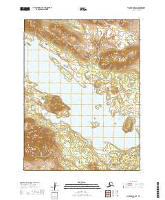
2019 · Dillingham B-8 SE
USGS Topo · 1:25,000
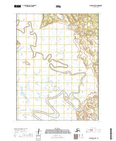
2019 · Dillingham A-8 SE
USGS Topo · 1:25,000
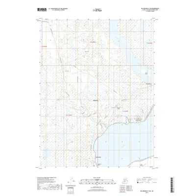
2019 · Dillingham A-7 SW
USGS Topo · 1:25,000
2019 · Dillingham A-8 SW
USGS Topo · 1:25,000