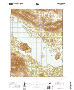
2019 Map of Dillingham B-8 SE
USGS Topo · Published 2019About this map
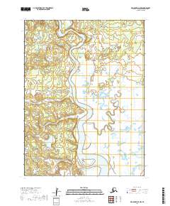
Lake Aleknagik dominates this landscape, its expansive waters serving as the geographical anchor for the small settlement of Aleknagik. This 2019 survey documents the road network connecting the village to the surrounding terrain, specifically via Aleknagik Lake Road and Foxville Road. To the west, the topography rises sharply into the Wood River Mountains, where Mable Mtn provides a significant landmark overlooking the lake shore. Numerous tributaries, including Fenno Cr, Happy Cr, and Bear Cr, drain from the uplands and the northeast slopes of Table Mtn into the lake basin. The map illustrates a transitional zone where the water-based economy of the village meets the high, glaciated peaks of the Alaskan interior, capturing the primary transit corridors and named watercourses of the Wood-Tikchik region.
Find a feature on this map
18 named features on this map. Tap any name to fly to it.
Don’t see what you’re looking for? This feature index may not catch every label — zoom into the map to look around manually.
Map Details
Editions of this 2019 Dillingham B-8 SE Map
This is the sole edition of this map. No revisions or reprints were ever made.
Other maps of this area

1951 · Dillingham
USGS Topo · 1:250,000

1952 · Dillingham A-8
USGS Topo · 1:63,360

1952 · Dillingham A-7
USGS Topo · 1:63,360

1954 · Dillingham
USGS Topo · 1:250,000

1954 · Dillingham B-7
USGS Topo · 1:63,360

1954 · Dillingham B-8
USGS Topo · 1:63,360
2019 · Dillingham A-8 NE
USGS Topo · 1:25,000
2019 · Dillingham B-7 NW
USGS Topo · 1:25,000
2019 · Dillingham B-8 SW
USGS Topo · 1:25,000
2019 · Dillingham A-7 NW
USGS Topo · 1:25,000