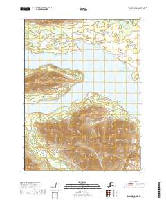
2019 Map of Dillingham B-8 NE
USGS Topo · Published 2019About this map
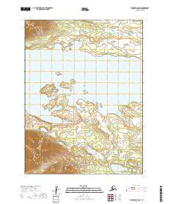
Lake Nerka dominates the northern half of this terrain, its expansive waters fed by several small drainages that descend from the surrounding highlands. The landscape is defined by its complex hydrography, where River Bay forms a significant indentation on the southern shore, and numerous named streams like Teal Cr and Bear Cr carve through the elevation.
Find a feature on this map
12 named features on this map. Tap any name to fly to it.
Don’t see what you’re looking for? This feature index may not catch every label — zoom into the map to look around manually.
Map Details
Editions of this 2019 Dillingham B-8 NE Map
This is the sole edition of this map. No revisions or reprints were ever made.
Other maps of this area

1951 · Dillingham
USGS Topo · 1:250,000

1954 · Dillingham
USGS Topo · 1:250,000

1954 · Dillingham B-7
USGS Topo · 1:63,360

1954 · Dillingham B-8
USGS Topo · 1:63,360

1954 · Dillingham C-7
USGS Topo · 1:63,360

1954 · Dillingham C-8
USGS Topo · 1:63,360
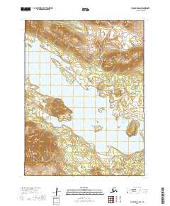
2019 · Dillingham B-8 SE
USGS Topo · 1:25,000
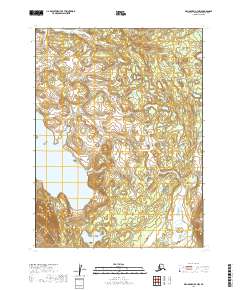
2019 · Dillingham B-7 NW
USGS Topo · 1:25,000
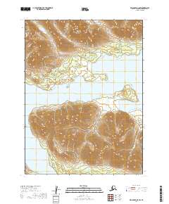
2019 · Dillingham C-8 SW
USGS Topo · 1:25,000
2019 · Dillingham C-8 SE
USGS Topo · 1:25,000