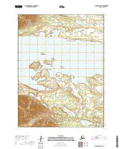
2019 Map of Dillingham C-8 SE
USGS Topo · Published 2019About this map
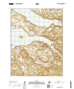
Lake Nerka dominates this 2019 survey, illustrating a complex glacial landscape in southwestern Alaska. The map focuses on the eastern reaches of the lake, specifically highlighting Anvil Bay and the central terrain of Middle Island and the adjacent Middle Islands. This remote territory is defined by its dramatic relief and hydrography, with significant elevation changes documented in the surrounding uplands and drainage basins. Two primary waterways, Kema Cr and Bear Cr, carve through the land south of the lake, indicating the seasonal flow patterns that shape the local ecosystem. The lack of roads or permanent settlements within these boundaries underscores the wilderness character of the region, where access is dictated by the water and the high-latitude terrain. This topographic record provides a precise look at the shoreline and drainages before the ongoing shifts in subarctic hydrology further alter the landscape.
Find a feature on this map
12 named features on this map. Tap any name to fly to it.
Don’t see what you’re looking for? This feature index may not catch every label — zoom into the map to look around manually.
Map Details
Editions of this 2019 Dillingham C-8 SE Map
This is the sole edition of this map. No revisions or reprints were ever made.
Other maps of this area

1951 · Dillingham
USGS Topo · 1:250,000

1954 · Dillingham
USGS Topo · 1:250,000

1954 · Dillingham B-7
USGS Topo · 1:63,360

1954 · Dillingham B-8
USGS Topo · 1:63,360

1954 · Dillingham C-7
USGS Topo · 1:63,360

1954 · Dillingham C-8
USGS Topo · 1:63,360
2019 · Dillingham C-8 NW
USGS Topo · 1:25,000
2019 · Dillingham B-7 NW
USGS Topo · 1:25,000
2019 · Dillingham C-8 SW
USGS Topo · 1:25,000
2019 · Dillingham C-7 SW
USGS Topo · 1:25,000