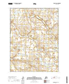
2019 Map of Dillingham C-3 SE
USGS Topo · Published 2019About this map
Nunachuak Creek meanders across this interior Alaskan landscape, serving as the primary hydrological feature within a network of wetlands and ponds. This survey, compiled from data sources such as the National Hydrography Dataset and the Bureau of Land Management, documents the complex drainage patterns of the Dillingham Census Area. The map details the Township and Range system across several sections, including t6s r45w, t7s r45w, and t8s r44w, illustrating the remote topography of the region before any significant road infrastructure or permanent settlements were established. This 2019 edition provides a modern topographic overview of the undisturbed tundra and aquatic systems typical of this part of southwest Alaska.
Find a feature on this map
7 named features on this map. Tap any name to fly to it.
Don’t see what you’re looking for? This feature index may not catch every label — zoom into the map to look around manually.
Map Details
Editions of this 2019 Dillingham C-3 SE Map
This is the sole edition of this map. No revisions or reprints were ever made.
Other maps of this area

1951 · Dillingham
USGS Topo · 1:250,000

1954 · Dillingham
USGS Topo · 1:250,000

1954 · Dillingham C-3
USGS Topo · 1:63,360
1954 · Dillingham B-2
USGS Topo · 1:63,360

1954 · Dillingham B-3
USGS Topo · 1:63,360

1954 · Dillingham C-2
USGS Topo · 1:63,360
2019 · Dillingham C-3 NW
USGS Topo · 1:25,000
2019 · Dillingham B-3 NW
USGS Topo · 1:25,000
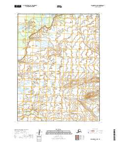
2019 · Dillingham C-3 NE
USGS Topo · 1:25,000
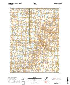
2019 · Dillingham B-2 NW
USGS Topo · 1:25,000