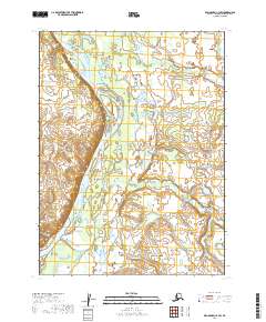
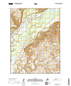
2019 Map of Dillingham C-3 SW
USGS Topo · Published 2019About this map
The Nushagak River dominates this portion of the Dillingham Census Area, winding through a complex network of wetlands and shifting channels typical of southwest Alaska. This topographic study documents the river's path as it flowed in 2019, illustrating the braided nature of the waterway and its relationship with the surrounding terrain. The small settlement of Nunachuak sits on the eastern bank of the main river channel, just south of where Nunachuak Cr enters the basin. The map provides a detailed view of the extensive marshes and water bodies that define the landscape, which is largely uninhabited outside of the river corridor. For those studying the hydrology or cultural geography of the Bristol Bay region, these details clarify the physical footprint of the area before environmental shifts alter the river's course.
Find a feature on this map
9 named features on this map. Tap any name to fly to it.
Don’t see what you’re looking for? This feature index may not catch every label — zoom into the map to look around manually.
Map Details
Editions of this 2019 Dillingham C-3 SW Map
This is the sole edition of this map. No revisions or reprints were ever made.
Other maps of this area

1951 · Dillingham
USGS Topo · 1:250,000

1954 · Dillingham
USGS Topo · 1:250,000

1954 · Dillingham B-4
USGS Topo · 1:63,360

1954 · Dillingham C-3
USGS Topo · 1:63,360

1954 · Dillingham B-3
USGS Topo · 1:63,360

1954 · Dillingham C-4
USGS Topo · 1:63,360
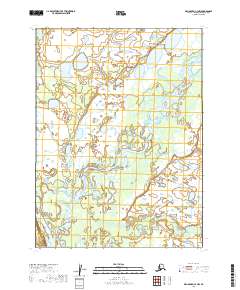
2019 · Dillingham C-3 NW
USGS Topo · 1:25,000
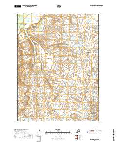
2019 · Dillingham B-3 NW
USGS Topo · 1:25,000
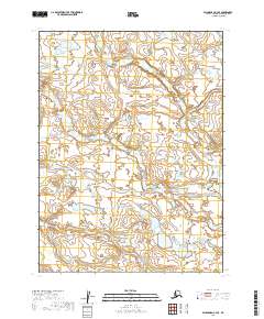
2019 · Dillingham C-3 SE
USGS Topo · 1:25,000
2019 · Dillingham B-4 NE
USGS Topo · 1:25,000