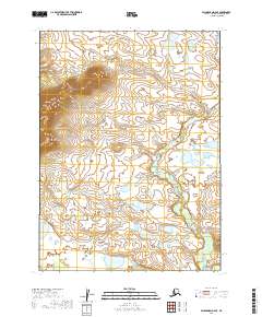
2019 Map of Dillingham D-4 SE
USGS Topo · Published 2019About this map
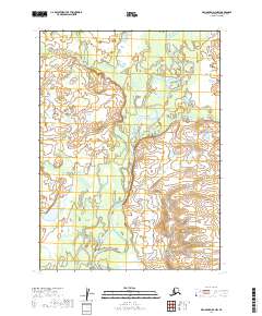
Kelok Mtn rises in the northwestern corner of this territory, standing as the primary topographical landmark in an otherwise intricate network of water and wetlands. The landscape is defined by the winding course of Cranberry Creek, also labeled in sections as Cranberry Cr, which meanders through the eastern and central portions of the quadrangle. This 2019 survey, produced by the U.S. Geological Survey, illustrates a wilderness largely defined by its hydrography, where countless unnamed ponds and small lakes fill the low-lying areas between the slopes of the mountain and the creek drainage. The map provides a precise look at the land partitions and township boundaries, such as t4s r46w and t4s r47w, which organize this remote Alaskan terrain.
Find a feature on this map
9 named features on this map. Tap any name to fly to it.
Don’t see what you’re looking for? This feature index may not catch every label — zoom into the map to look around manually.
Map Details
Editions of this 2019 Dillingham D-4 SE Map
This is the sole edition of this map. No revisions or reprints were ever made.
Other maps of this area

1951 · Dillingham
USGS Topo · 1:250,000

1954 · Dillingham
USGS Topo · 1:250,000

1954 · Dillingham C-3
USGS Topo · 1:63,360

1954 · Dillingham D-3
USGS Topo · 1:63,360

1954 · Dillingham D-4
USGS Topo · 1:63,360

1954 · Dillingham C-4
USGS Topo · 1:63,360
2019 · Dillingham D-4 NE
USGS Topo · 1:25,000
2019 · Dillingham C-3 NW
USGS Topo · 1:25,000
2019 · Dillingham D-4 SW
USGS Topo · 1:25,000
2019 · Dillingham D-4 NW
USGS Topo · 1:25,000