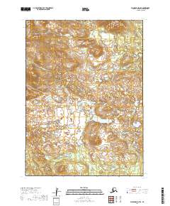
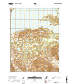
2019 Map of Dillingham D-7 SE
USGS Topo · Published 2019About this map
The Kokwok River winds through this interior landscape in the Dillingham Census Area, defining the drainage patterns across a series of surveyed townships including t4s r53w and t5s r53w. This 2019 survey captures a remote Alaskan wilderness shaped by glacial history and riparian activity, where the river's path is the primary geographical anchor for the surrounding wetlands and elevation contours. The map's detailed topography reveals the complex hydrology of the region, emphasizing the importance of the Kokwok waterway for local navigation and subsistence in this part of the Alaskan bush. Without established roads or settlements, the natural terrain and the surveyed section lines provide the only markers for land use and navigation within this expansive watershed.
Find a feature on this map
7 named features on this map. Tap any name to fly to it.
Don’t see what you’re looking for? This feature index may not catch every label — zoom into the map to look around manually.
Map Details
Editions of this 2019 Dillingham D-7 SE Map
This is the sole edition of this map. No revisions or reprints were ever made.
Other maps of this area

1951 · Dillingham
USGS Topo · 1:250,000

1954 · Dillingham
USGS Topo · 1:250,000

1954 · Dillingham C-6
USGS Topo · 1:63,360

1954 · Dillingham D-6
USGS Topo · 1:63,360

1954 · Dillingham D-7
USGS Topo · 1:63,360

1954 · Dillingham C-7
USGS Topo · 1:63,360
2019 · Dillingham D-6 NW
USGS Topo · 1:25,000
2019 · Dillingham D-7 NE
USGS Topo · 1:25,000
2019 · Dillingham D-6 SW
USGS Topo · 1:25,000
2019 · Dillingham D-7 NW
USGS Topo · 1:25,000