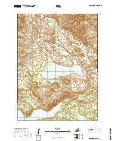
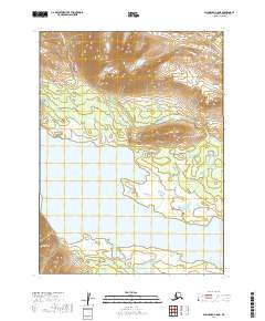
2019 Map of Dillingham D-7 SW
USGS Topo · Published 2019About this map
Grant Lake dominates the center of this landscape in the Dillingham region, its waters fed by the surrounding peaks and the Grant River. The terrain is defined by dramatic elevation changes, notably toward the northern edge where Agenuk Mtn rises above the valley floor. To the south, the headwaters of Lake Kulik enter the frame, connected to the broader hydrologic system by features such as Kolevokharit Koygut Falls. This 2019 survey captures an area of Southwestern Alaska where the geography remains largely untouched by modern infrastructure, showing the natural drainage patterns and township and range boundaries of T3S through T5S. It is a detailed record of the waterways and topography that define the subsistence and recreational landscape of the Dillingham Census Area.
Find a feature on this map
11 named features on this map. Tap any name to fly to it.
Don’t see what you’re looking for? This feature index may not catch every label — zoom into the map to look around manually.
Map Details
Editions of this 2019 Dillingham D-7 SW Map
This is the sole edition of this map. No revisions or reprints were ever made.
Other maps of this area

1951 · Dillingham
USGS Topo · 1:250,000

1954 · Dillingham
USGS Topo · 1:250,000

1954 · Dillingham D-7
USGS Topo · 1:63,360

1954 · Dillingham D-8
USGS Topo · 1:63,360

1954 · Dillingham C-7
USGS Topo · 1:63,360

1954 · Dillingham C-8
USGS Topo · 1:63,360
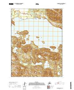
2019 · Dillingham D-7 NE
USGS Topo · 1:25,000
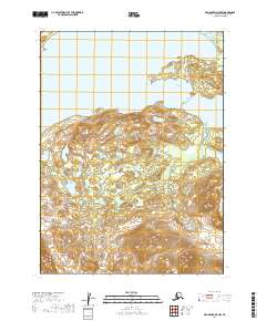
2019 · Dillingham D-7 NW
USGS Topo · 1:25,000
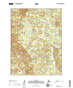
2019 · Dillingham C-7 NE
USGS Topo · 1:25,000
2019 · Dillingham C-8 NE
USGS Topo · 1:25,000