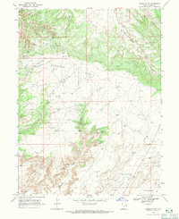
1968 Map of Dinosaur NW
USGS Topo · Published 1971About this map
Energy extraction defines the high desert landscape of Uintah County in the late 1960s, as evidenced by the dense concentration of infrastructure across the Walker Hollow Oil and Gas Field and the Red Wash Oil and Gas Field. This 1968 field-checked record illustrates the systematic industrialization of the Deadman Bench, where dozens of individual Oil Wells and Gas Wells are interconnected by a network of pipelines and unimproved roads. A singular landmark, Deadmans Grave, stands out as a point of local historical interest amidst the modern petroleum works. The terrain is marked by seasonal drainages such as Powder Springs Wash and Kennedy Wash, which cut through the ridges toward the Coyote Basin. The mapping of the Powder Springs Gas Field and Coyote Basin Field further highlights the region's total immersion in the mid-century western energy boom.
Find a feature on this map
19 named features on this map. Tap any name to fly to it.
Don’t see what you’re looking for? This feature index may not catch every label — zoom into the map to look around manually.
Map Details
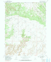
Editions of this 1968 Dinosaur NW Map
2 editions found
Other maps of this area

1885 · Ashley
USGS Topo · 1:250,000

1907 · Jensen
USGS Topo · 1:125,000

1910 · Jensen
USGS Topo · 1:125,000

1954 · Vernal
USGS Topo · 1:250,000

1958 · Vernal
USGS Topo · 1:250,000

1960 · Vernal
USGS Topo · 1:250,000
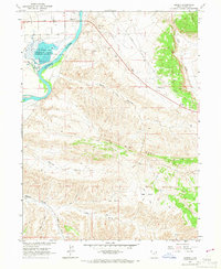
1965 · Jensen
USGS Topo · 1:24,000
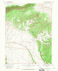
1968 · Snake John Reef
USGS Topo · 1:24,000
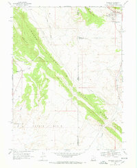
1968 · Dinosaur
USGS Topo · 1:24,000
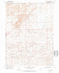
1968 · Red Wash SE
USGS Topo · 1:24,000