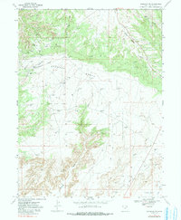
1968 Map of Dinosaur NW
USGS Topo · Published 1991About this map
Oil and Gas Field operations dominate this high-desert landscape in northeastern Utah, revealing a complex industrial network of energy extraction from the late 1960s. The topography is defined by the broad Deadman Bench and the high relief of Walker Hollow and Squaw Ridge, where numerous Gas Wells and Oil Wells are connected by an extensive system of 4wd tracks and a major Aboveground Pipeline.
Find a feature on this map
19 named features on this map. Tap any name to fly to it.
Don’t see what you’re looking for? This feature index may not catch every label — zoom into the map to look around manually.
Map Details
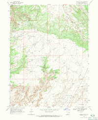
Editions of this 1968 Dinosaur NW Map
2 editions found
Other maps of this area

1885 · Ashley
USGS Topo · 1:250,000

1907 · Jensen
USGS Topo · 1:125,000

1910 · Jensen
USGS Topo · 1:125,000

1954 · Vernal
USGS Topo · 1:250,000

1958 · Vernal
USGS Topo · 1:250,000

1960 · Vernal
USGS Topo · 1:250,000
1965 · Jensen
USGS Topo · 1:24,000
1968 · Snake John Reef
USGS Topo · 1:24,000
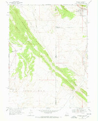
1968 · Dinosaur
USGS Topo · 1:24,000
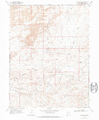
1968 · Red Wash SE
USGS Topo · 1:24,000