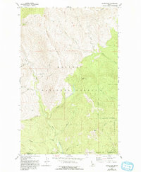
1967 Map of Dodge Peak
USGS Topo · Published 1993About this map
Kaniksu National Forest dominates this mountain landscape in the Idaho Panhandle, where the high crests of Apache Ridge and Ruby Ridge overlook a complex network of glacial valleys. The drainage system is anchored by the Pack River, which collects water from numerous steep tributaries including McCormick Creek and Torrent Creek. The terrain is marked by significant vertical relief, rising from the river floor toward the summit of Dodge Peak and the southern slopes of White Mtn.
Find a feature on this map
28 named features on this map. Tap any name to fly to it.
Don’t see what you’re looking for? This feature index may not catch every label — zoom into the map to look around manually.
Map Details
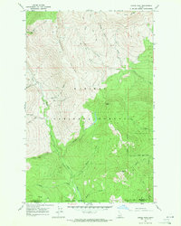
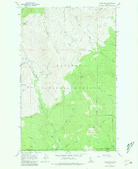
Editions of this 1967 Dodge Peak Map
3 editions found
Other maps of this area

1901 · Sandpoint
USGS Topo · 1:125,000

1911 · Priest Lake
USGS Topo · 1:250,000

1911 · Sandpoint
USGS Topo · 1:125,000

1913 · Priest Lake
USGS Topo · 1:250,000

1951 · Elmira
USGS Topo · 1:62,500

1958 · Sandpoint
USGS Topo · 1:250,000

1963 · Sandpoint
USGS Topo · 1:250,000

1965 · Moravia
USGS Topo · 1:24,000

1965 · Naples
USGS Topo · 1:24,000

1967 · The Wigwams
USGS Topo · 1:24,000