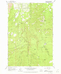
1962 Map of Dog River
USGS Topo · Published 1977About this map
Mount Hood National Forest dominates this topographic survey, revealing a landscape defined by its complex hydrology and early recreational infrastructure. The northern portion transitions from the agricultural Hood River Valley into a dense network of mountain drainage, where the Dog River and East Fork Dog River carve through high ridges. A key point of infrastructure is The Dalles City Waterworks, which illustrates the vital role this watershed played in supplying distant municipalities.
Find a feature on this map
63 named features on this map. Tap any name to fly to it.
Don’t see what you’re looking for? This feature index may not catch every label — zoom into the map to look around manually.
Map Details
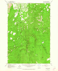
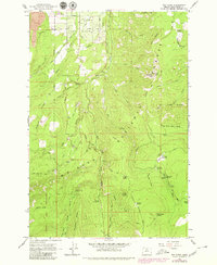
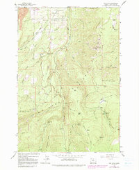
Editions of this 1962 Dog River Map
4 editions found
Other maps of this area

1924 · Mount Hood
USGS Topo · 1:125,000

1926 · Hood River
USGS Topo · 1:125,000

1927 · Mount Hood
USGS Topo · 1:125,000

1929 · Hood River
USGS Topo · 1:125,000

1930 · Dufur
USGS Topo · 1:125,000

1934 · Dufur
USGS Topo · 1:125,000

1934 · The Dalles
USGS Topo · 1:125,000

1953 · The Dalles
USGS Topo · 1:250,000

1956 · The Dalles
USGS Topo · 1:250,000

1957 · The Dalles
USGS Topo · 1:250,000