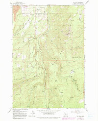
1962 Map of Dog River
USGS Topo · Published 1991About this map
Upper Hood River Valley terrain dominates this 1962 survey, revealing a landscape defined by industrial water management and forest recreation during the early 1960s. The presence of The Dalles City Waterworks and a Gaging Station along the Dog River illustrates the critical role this watershed played in supplying municipal water. To the west, the Mount Hood Wilderness boundary borders the Cooper Spur Ski Area, showing the development of winter sports alongside established forest service sites like Sherwood Campground. Travel through the area is marked by rugged timber and access routes including Dufur Mill Road and the Surveyors Ridge Road. From the heights of Shellrock Mtn to the depths of Weygandt Canyon, the map captures the complex drainage systems of Crystal Spring Creek and Mill Creek, which flow toward the valley floor.
Find a feature on this map
68 named features on this map. Tap any name to fly to it.
Don’t see what you’re looking for? This feature index may not catch every label — zoom into the map to look around manually.
Map Details
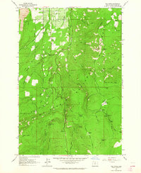
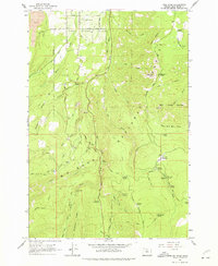
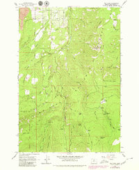
Editions of this 1962 Dog River Map
4 editions found
Other maps of this area

1924 · Mount Hood
USGS Topo · 1:125,000

1926 · Hood River
USGS Topo · 1:125,000

1927 · Mount Hood
USGS Topo · 1:125,000

1929 · Hood River
USGS Topo · 1:125,000

1930 · Dufur
USGS Topo · 1:125,000

1934 · Dufur
USGS Topo · 1:125,000

1934 · The Dalles
USGS Topo · 1:125,000

1953 · The Dalles
USGS Topo · 1:250,000

1956 · The Dalles
USGS Topo · 1:250,000

1957 · The Dalles
USGS Topo · 1:250,000