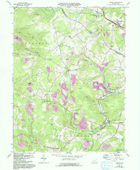
1967 Map of Donegal
USGS Topo · Published 1993About this map
Chestnut Ridge dominates the western landscape of this Westmoreland and Fayette County border region, where steep slopes meet a valley floor defined by the complex drainage of Indian Creek and its tributaries. The map reveals an area where small rural settlements like Melcroft, Indian Head, and Normalville are interspersed with active and legacy industrial sites, evidenced by numerous Strip Mines and Mine Dumps. The arrival of modern infrastructure is anchored by the Pennsylvania Turnpike and its Interchange 9 near the borough of Donegal, marking a shift in the region's accessibility. Local heritage is preserved through landmarks like Mt Zion Ch and Brown Cem, while natural and recreational areas like Lake Donegal and Cummingswood Park provide contrast to the extensive mining operations that shaped the local economy and terrain.
Find a feature on this map
52 named features on this map. Tap any name to fly to it.
Don’t see what you’re looking for? This feature index may not catch every label — zoom into the map to look around manually.
Map Details
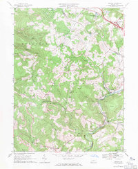
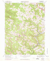
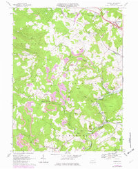
Editions of this 1967 Donegal Map
4 editions found
Other maps of this area

1900 · Uniontown
USGS Topo · 1:62,500

1902 · Connellsville
USGS Topo · 1:62,500

1922 · Confluence
USGS Topo · 1:62,500

1922 · Donegal
USGS Topo · 1:62,500

1931 · Connellsville
USGS Topo · 1:62,500

1931 · Uniontown
USGS Topo · 1:62,500

1931 · Confluence
USGS Topo · 1:62,500

1933 · Confluence
USGS Topo · 1:62,500

1935 · Donegal
USGS Topo · 1:62,500

1936 · Connellsville
USGS Topo · 1:62,500
Featured Places
- Donegal, PA
- Bullskin Township, PA
- Springfield Township, PA
- Saltlick Township, PA
- Mount Pleasant Township, PA