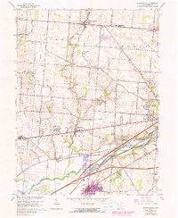
1965 Map of Donnelsville
USGS Topo · Published 1990About this map
The Mad River valley defines the lower half of this landscape, where the Penn Central and Erie Lackawanna rail lines converge near Donnelsville Station. Just north of the river, the County Home For the Aged and several rural burial grounds like Asbury Cem and Old German Cem reflect the social and genealogical fabric of the mid-20th century. The terrain is a network of small agricultural hubs connected by historic thoroughfares like the National Road and Valley Pike, which cut through the townships of German, Bethel, and Mad River.
Find a feature on this map
60 named features on this map. Tap any name to fly to it.
Don’t see what you’re looking for? This feature index may not catch every label — zoom into the map to look around manually.
Map Details
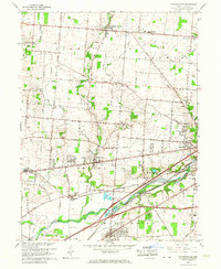
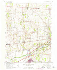
Editions of this 1965 Donnelsville Map
3 editions found
Other maps of this area

1904 · Springfield
USGS Topo · 1:62,500

1904 · Dayton
USGS Topo · 1:62,500

1906 · Dayton
USGS Topo · 1:62,500

1906 · Springfield
USGS Topo · 1:62,500

1914 · Troy
USGS Topo · 1:62,500

1914 · St. Paris
USGS Topo · 1:62,500

1916 · St. Paris
USGS Topo · 1:62,500

1944 · St. Paris
USGS Topo · 1:62,500

1944 · Troy
USGS Topo · 1:62,500

1947 · Columbus
USGS Topo · 1:250,000