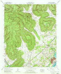
1967 Map of Doran Cove
USGS Topo · Published 1972About this map
Russell Cave National Monument sits at the heart of this landscape where the high Cumberland Plateau meets the fertile floor of Doran Cove. The map documents a complex rural economy in the late 1960s, ranging from the industrial Widows Creek Steam Plant and a Substation along the Tennessee River to the scattered farms and private reservations of the upland ridges. Local heritage is deeply rooted here, evidenced by numerous family-named landmarks and spiritual centers such as Edgefield Ch, Mt Carmel, and Hopewell Church.
Find a feature on this map
93 named features on this map. Tap any name to fly to it.
Don’t see what you’re looking for? This feature index may not catch every label — zoom into the map to look around manually.
Map Details
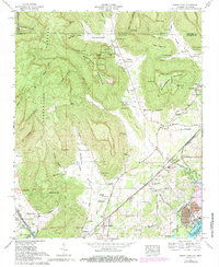
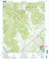
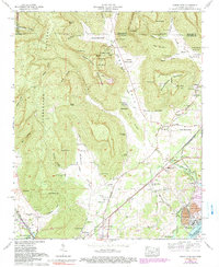
Editions of this 1967 Doran Cove Map
4 editions found
Other maps of this area

1886 · Stevenson
USGS Topo · 1:125,000

1892 · Stevenson
USGS Topo · 1:125,000

1895 · Stevenson
USGS Topo · 1:125,000

1895 · Sewanee
USGS Topo · 1:125,000
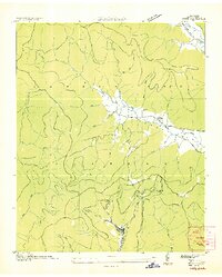
1936 · Orme
USGS Topo · 1:24,000
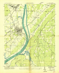
1936 · Bridgeport
USGS Topo · 1:24,000
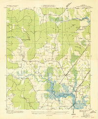
1936 · Wannville
USGS Topo · 1:24,000
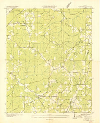
1936 · Flat Rock
USGS Topo · 1:24,000
1936 · Sinking Cove
USGS Topo · 1:24,000
1936 · Stevenson
USGS Topo · 1:24,000