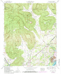
1967 Map of Doran Cove
USGS Topo · Published 1985About this map
Russell Cave National Monument and the rugged edges of the Cumberland Plateau dominate the northern landscape of this Jackson County survey. This region, where the Tennessee-Alabama state line cuts across wooded elevations like Summerhouse Mountain, shows a distinct transition from upland hollows to the industrial and agricultural activity of the Tennessee River valley. The southern portion of the map is defined by the Seaboard System Railroad corridor and the cooling waters of Guntersville Lake, which supports the massive Widows Creek Steam Plant. Numerous family-named landmarks and cemeteries, such as McMahan Cem, Walker Cem, and Cargile Cem, are scattered throughout the coves, reflecting a deeply rooted rural settlement pattern. From the small community at Stevenson to the remote Woods Reservation, the map records a landscape balancing preservation, industry, and traditional Appalachian life.
Find a feature on this map
92 named features on this map. Tap any name to fly to it.
Don’t see what you’re looking for? This feature index may not catch every label — zoom into the map to look around manually.
Map Details
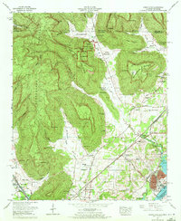
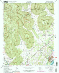
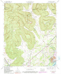
Editions of this 1967 Doran Cove Map
4 editions found
Other maps of this area

1886 · Stevenson
USGS Topo · 1:125,000

1892 · Stevenson
USGS Topo · 1:125,000

1895 · Stevenson
USGS Topo · 1:125,000

1895 · Sewanee
USGS Topo · 1:125,000

1936 · Orme
USGS Topo · 1:24,000

1936 · Bridgeport
USGS Topo · 1:24,000

1936 · Wannville
USGS Topo · 1:24,000

1936 · Flat Rock
USGS Topo · 1:24,000

1936 · Sinking Cove
USGS Topo · 1:24,000

1936 · Stevenson
USGS Topo · 1:24,000