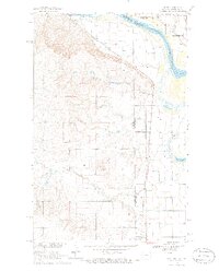
1968 Map of Dore
USGS Topo · Published 1986About this map
The Fort Union Trading Post National Historic Site and Fort Buford State Historic Site stand at the strategic confluence where the Missouri River meets the North Dakota-Montana border. This survey captures a landscape defined by the intersection of early frontier military history and 20th-century irrigation efforts. The Main Canal and several Siphon installations cutting through the Buford area illustrate the region's reliance on water management for agriculture, while the Burlington Northern railroad provides the primary industrial artery through the settlements of Nohly and Dore. To the south, the terrain becomes more complex as North Fork Fourmile Creek and Fourmile Creek meander toward Nohly Lake. For local historians, the placement of the Fairview Cem and various unnamed cemeteries near Figley Coulee offers valuable genealogical context in this sparsely populated borderland.
Find a feature on this map
25 named features on this map. Tap any name to fly to it.
Don’t see what you’re looking for? This feature index may not catch every label — zoom into the map to look around manually.
Map Details
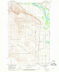
Editions of this 1968 Dore Map
2 editions found
Other maps of this area

1909 · Glendive
USGS Topo · 1:250,000

1953 · Williston
USGS Topo · 1:250,000

1953 · Watford City
USGS Topo · 1:250,000

1954 · Glendive
USGS Topo · 1:250,000

1954 · Wolf Point
USGS Topo · 1:250,000

1957 · Glendive
USGS Topo · 1:250,000

1957 · Williston
USGS Topo · 1:250,000

1957 · Watford City
USGS Topo · 1:250,000

1958 · Wolf Point
USGS Topo · 1:250,000

1958 · Glendive
USGS Topo · 1:250,000