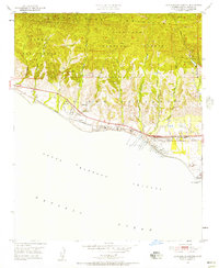
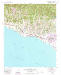
1951 Map of Dos Pueblos Canyon
USGS Topo · Published 1957About this map
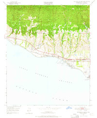
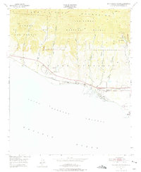
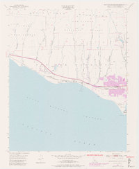
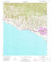
The Santa Barbara coast during the early 1950s is defined by a narrow strip of development squeezed between the Santa Ynez Mountains and the Pacific Ocean. This coastal shelf, characterized by deep ravines like Dos Pueblos Canyon and Tecolote Canyon, shows a transition from the agricultural and ranching landscape of the past toward the expanding footprint of the oil industry. Numerous Oil Wells and Oil Tanks dot the shoreline near Ellwood, while the infrastructure of the Southern Pacific railroad and Hollister Ave provide the primary transit corridors. Education and community life are represented by the Ellwood Union Sch and the Devereux Ranch Sch near the coast. Much of the northern terrain is preserved within the Los Padres National Forest, where the topography rises sharply from sea level into the steep canyons of Cañada Del Corral.
Find a feature on this map
26 named features on this map. Tap any name to fly to it.
Don’t see what you’re looking for? This feature index may not catch every label — zoom into the map to look around manually.
Map Details
Editions of this 1951 Dos Pueblos Canyon Map
9 editions found
Other maps of this area

1902 · Santa Ynez
USGS Topo · 1:125,000

1905 · Santa Ynez
USGS Topo · 1:125,000

1905 · Lompoc
USGS Topo · 1:125,000

1941 · San Rafael Mtn.
USGS Topo · 1:62,500

1942 · Lompoc
USGS Topo · 1:125,000

1942 · Gaviota
USGS Topo · 1:62,500

1942 · Goleta
USGS Topo · 1:62,500

1942 · San Rafael Mtn.
USGS Topo · 1:62,500

1942 · Los Olivos
USGS Topo · 1:62,500

1943 · San Rafael Mtn.
USGS Topo · 1:62,500