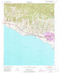
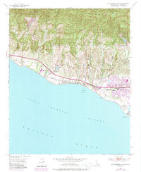
1951 Map of Dos Pueblos Canyon
USGS Topo · Published 1987About this map
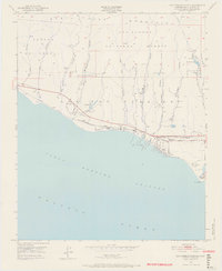
The Santa Ynez Mountains rise sharply above the Pacific coastline in this mid-century view of the Los Dos Pueblos land grant. The landscape is defined by deep north-south drainages including Gato Canyon, Eagle Canyon, and Winchester Canyon, which funnel towards the Santa Barbara Channel. Coastal development is concentrated along the Southern Pacific rail line and Hollister Ave, where the community of Naples and the Ellwood Union Sch mark the interface between the agricultural foothills and the sea. Industrial presence is noted near Coal Oil Point with several Oil Wells and a surrounding Golf Course, reflecting the region's diverse economic activities. Further inland, the map captures the transition to the protected wilderness of the Los Padres National Forest, with landmarks like Glen Annie Res providing essential water resources to the developing Santa Barbara coast.
Find a feature on this map
34 named features on this map. Tap any name to fly to it.
Don’t see what you’re looking for? This feature index may not catch every label — zoom into the map to look around manually.
Map Details
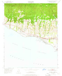
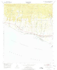
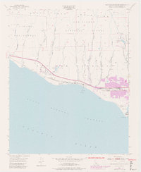
Editions of this 1951 Dos Pueblos Canyon Map
9 editions found
Other maps of this area

1902 · Santa Ynez
USGS Topo · 1:125,000

1905 · Santa Ynez
USGS Topo · 1:125,000

1905 · Lompoc
USGS Topo · 1:125,000

1941 · San Rafael Mtn.
USGS Topo · 1:62,500

1942 · Lompoc
USGS Topo · 1:125,000

1942 · Gaviota
USGS Topo · 1:62,500

1942 · Goleta
USGS Topo · 1:62,500

1942 · San Rafael Mtn.
USGS Topo · 1:62,500

1942 · Los Olivos
USGS Topo · 1:62,500

1943 · San Rafael Mtn.
USGS Topo · 1:62,500