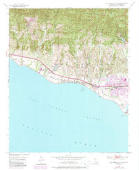
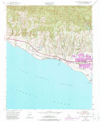
1951 Map of Dos Pueblos Canyon
USGS Topo · Published 1989About this map
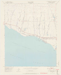
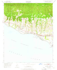
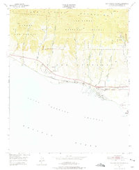
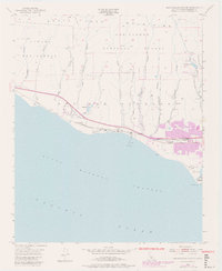
The coastal canyons of Los Dos Pueblos meet the Santa Barbara Channel in this mid-century survey of the California coast. The landscape is defined by the sharp transition from the Santa Ynez Mountains within the Los Padres National Forest down to the Pacific shoreline. The Southern Pacific railroad and Hollister Ave track the narrow coastal shelf, connecting the settlement of Naples to the growing community near Ellwood Union School. The presence of numerous oil wells, oil tanks, and an oil sump near Coal Oil Point indicates the importance of the petroleum industry to this region during the 1950s. Farther inland, names like Dos Pueblos Canyon, Eagle Canyon, and Tecolote Canyon mark the drainages that reach into the high chaparral and timber of the national forest.
Find a feature on this map
30 named features on this map. Tap any name to fly to it.
Don’t see what you’re looking for? This feature index may not catch every label — zoom into the map to look around manually.
Map Details
Editions of this 1951 Dos Pueblos Canyon Map
9 editions found
Other maps of this area

1902 · Santa Ynez
USGS Topo · 1:125,000

1905 · Santa Ynez
USGS Topo · 1:125,000

1905 · Lompoc
USGS Topo · 1:125,000

1941 · San Rafael Mtn.
USGS Topo · 1:62,500

1942 · Lompoc
USGS Topo · 1:125,000

1942 · Gaviota
USGS Topo · 1:62,500

1942 · Goleta
USGS Topo · 1:62,500

1942 · San Rafael Mtn.
USGS Topo · 1:62,500

1942 · Los Olivos
USGS Topo · 1:62,500

1943 · San Rafael Mtn.
USGS Topo · 1:62,500