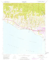
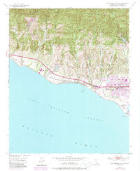
1951 Map of Dos Pueblos Canyon
USGS Topo · Published 1951About this map
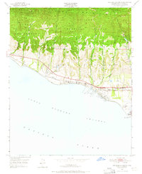
Los Dos Pueblos spans a landscape of coastal terraces and deep canyons reaching into the Santa Ynez Mountains. The 1951 topography, later updated in 1982, reveals a rural-to-suburban transition as coastal Santa Barbara County began to develop its canyon floors and mesas. The Southern Pacific railroad hugs the shoreline, passing the small settlement of Naples, while significant energy infrastructure is evident through Oil Wells and Oil Tanks clustered near the Pacific Ocean at Coal Oil Point.
Find a feature on this map
37 named features on this map. Tap any name to fly to it.
Don’t see what you’re looking for? This feature index may not catch every label — zoom into the map to look around manually.
Map Details
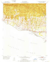
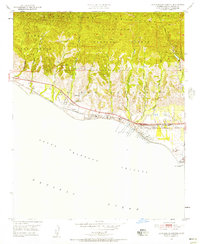
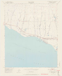
Editions of this 1951 Dos Pueblos Canyon Map
9 editions found
Other maps of this area

1902 · Santa Ynez
USGS Topo · 1:125,000

1905 · Santa Ynez
USGS Topo · 1:125,000

1905 · Lompoc
USGS Topo · 1:125,000

1941 · San Rafael Mtn.
USGS Topo · 1:62,500

1942 · Lompoc
USGS Topo · 1:125,000

1942 · Gaviota
USGS Topo · 1:62,500

1942 · Goleta
USGS Topo · 1:62,500

1942 · San Rafael Mtn.
USGS Topo · 1:62,500

1942 · Los Olivos
USGS Topo · 1:62,500

1943 · San Rafael Mtn.
USGS Topo · 1:62,500