Loading...
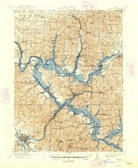
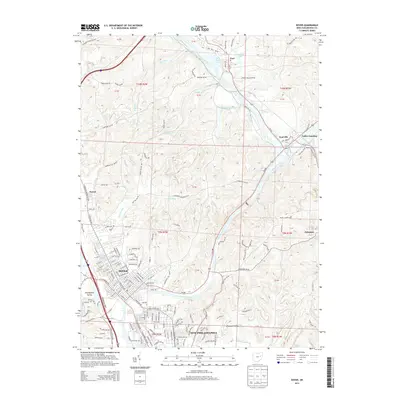
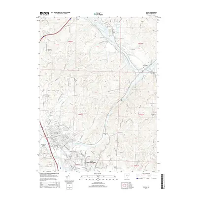
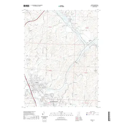
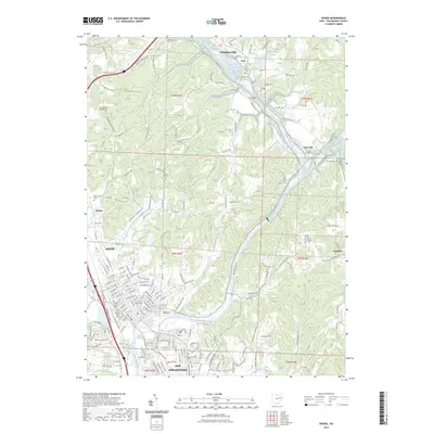
Loading map...1912 Map of Dover
USGS Topo · Published 1948About this map
The Tuscarawas River and Sandy Creek valleys serve as the central corridors for this 1912 survey, which was updated in 1948 to reflect retarding dams and flooding areas. The landscape is heavily influenced by the industrial and transport infrastructure of the era, notably the Pennsylvania RR and the Wheeling and Lake Erie RR which converge near Valley Junction. A relic of earlier commerce, the Canal, remains visible tracing the riverbank past the historic communal settlement of Zoar.
Find a feature on this map
87 named features on this map. Tap any name to fly to it.
Don’t see what you’re looking for? This feature index may not catch every label — zoom into the map to look around manually.
Map Details
Date Portrayed1912
Date Published1948
PublisherU.S. Geological Survey
Map TypeTopographic
Scale1:62,500
Physical Dimensions17 x 20.7 inches
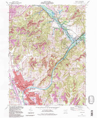
Editions of this 1912 Dover Map
2 editions found

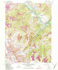
Historical Maps of Canton Through Time
9 maps found

Featured Locations
Source Details
SourceU.S. Geological Survey
CopyrightPublic Domain