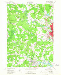
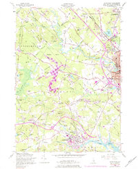
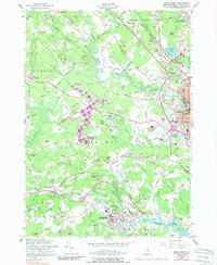
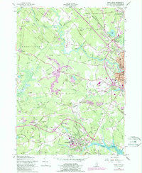
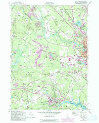
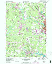
1956 Map of Dover West
USGS Topo · Published 1967About this map
The University of New Hampshire anchors the southern landscape of this 1950s survey, where the collegiate grounds meet the winding Oyster River. To the east, the industrial and residential core of Dover is clearly defined by its schools and churches, including the Sawyer Sch and St Joseph Sch, while the Spaulding Turnpike carves a modern path through the rural terrain of Madbury and Barrington. This era shows a community in transition, with established family names appearing on cemeteries such as Demerritt Cem and Layne Cem amidst the growing suburban infrastructure of the Somersworth city boundary.
Find a feature on this map
110 named features on this map. Tap any name to fly to it.
Don’t see what you’re looking for? This feature index may not catch every label — zoom into the map to look around manually.
Map Details
Editions of this 1956 Dover West Map
9 editions found
Other maps of this area

1891 · Berwick
USGS Topo · 1:62,500

1893 · Dover
USGS Topo · 1:62,500

1893 · Berwick
USGS Topo · 1:62,500

1916 · Dover
USGS Topo · 1:62,500

1917 · Mt. Pawtuckaway
USGS Topo · 1:62,500

1918 · Dover
USGS Topo · 1:62,500

1919 · Mt. Pawtuckaway
USGS Topo · 1:62,500

1919 · Alton
USGS Topo · 1:62,500

1933 · Berwick
USGS Topo · 1:48,000

1937 · Berwick
USGS Topo · 1:62,500