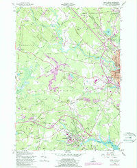
1956 Map of Dover West
USGS Topo · Published 1989About this map
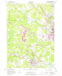
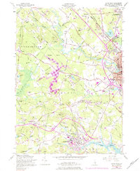
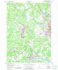
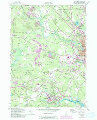
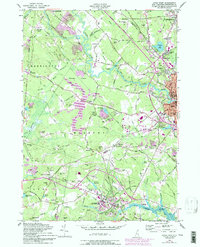
University of New Hampshire anchors the southern portion of this landscape, where the Oyster River meets tidal flats near Durham. Moving north, the map reveals a post-war transition as the Spaulding Turnpike carves through the terrain, connecting Dover with Somersworth. This infrastructure overlays an older network of farm-to-market routes and river crossings, such as Tolend Road and Stage Road. The Cocheco River and Bellamy River dictate the drainage patterns, winding past family-named landmarks like Hayes Hill and Hicks Hill. Local history is preserved in numerous burial grounds, including Sanders Cem and St Charles Cem, while the Boston and Maine RR corridors reflect the enduring rail industry that shaped these communities in the mid-20th century.
Find a feature on this map
106 named features on this map. Tap any name to fly to it.
Don’t see what you’re looking for? This feature index may not catch every label — zoom into the map to look around manually.
Map Details
Editions of this 1956 Dover West Map
9 editions found
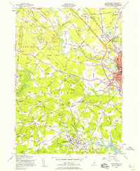
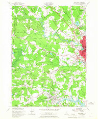
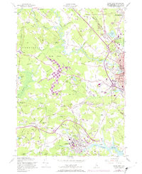
Other maps of this area

1891 · Berwick
USGS Topo · 1:62,500

1893 · Dover
USGS Topo · 1:62,500

1893 · Berwick
USGS Topo · 1:62,500

1916 · Dover
USGS Topo · 1:62,500

1917 · Mt. Pawtuckaway
USGS Topo · 1:62,500

1918 · Dover
USGS Topo · 1:62,500

1919 · Mt. Pawtuckaway
USGS Topo · 1:62,500

1919 · Alton
USGS Topo · 1:62,500

1933 · Berwick
USGS Topo · 1:48,000

1937 · Berwick
USGS Topo · 1:62,500