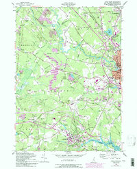
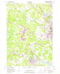
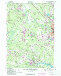
1956 Map of Dover West
USGS Topo · Published 1994About this map
Durham and the University of New Hampshire anchor the southern reaches of this landscape, where the Oyster River meets Beards Creek at the tidal flats. The topography is defined by a series of low ridges and glacial features, notably The Hoppers and the distinctive Pudding Hill. Settlement patterns follow the historic corridors of the Boston and Maine Railroad and the winding Bellamy River, connecting small rural centers like Madbury and East Barrington to the industrial hubs of Dover and Rochester.
Find a feature on this map
133 named features on this map. Tap any name to fly to it.
Don’t see what you’re looking for? This feature index may not catch every label — zoom into the map to look around manually.
Map Details
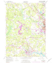
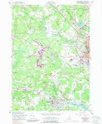
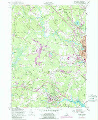
Editions of this 1956 Dover West Map
9 editions found
Other maps of this area

1891 · Berwick
USGS Topo · 1:62,500

1893 · Dover
USGS Topo · 1:62,500

1893 · Berwick
USGS Topo · 1:62,500

1916 · Dover
USGS Topo · 1:62,500

1917 · Mt. Pawtuckaway
USGS Topo · 1:62,500

1918 · Dover
USGS Topo · 1:62,500

1919 · Mt. Pawtuckaway
USGS Topo · 1:62,500

1919 · Alton
USGS Topo · 1:62,500

1933 · Berwick
USGS Topo · 1:48,000

1937 · Berwick
USGS Topo · 1:62,500