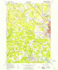
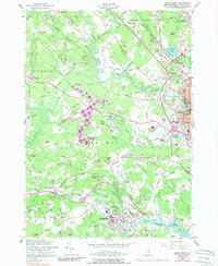
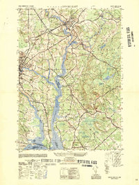
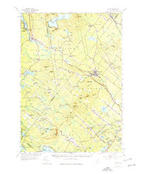
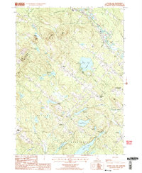
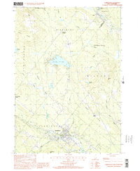
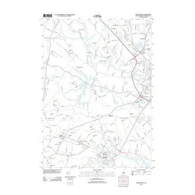
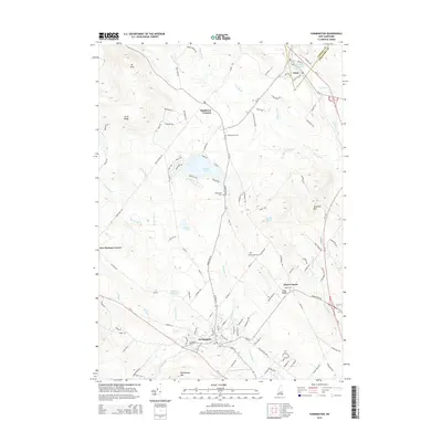
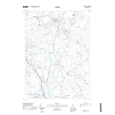
1956 Map of Dover West
USGS Topo · Published 1958About this map
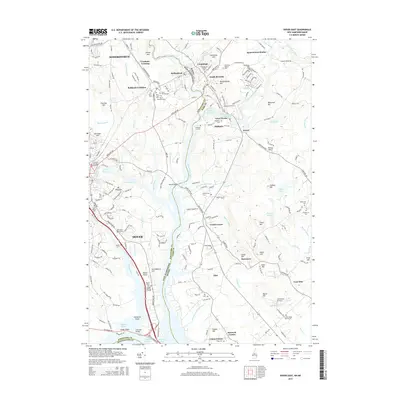
Durham and the University of New Hampshire serve as the southern anchor of this mid-century landscape, where the academic campus meets the Oyster River and its associated Tidal Flats. Moving north through Madbury and into the fringes of Rochester, the geography is defined by a dense network of family-named landmarks and rural institutions. Small family burial grounds like Budge Cem, James Cem, and Randall Cem are scattered across the terrain, offering significant points of interest for genealogical research.
Find a feature on this map
86 named features on this map. Tap any name to fly to it.
Don’t see what you’re looking for? This feature index may not catch every label — zoom into the map to look around manually.
Map Details
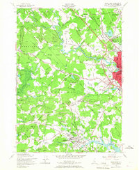
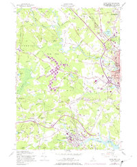
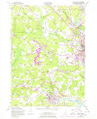
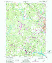
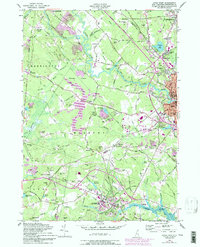
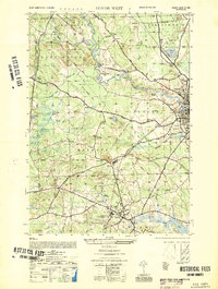
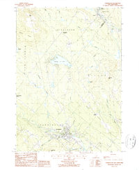
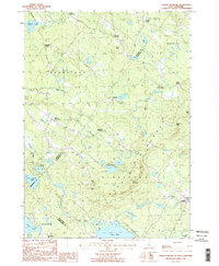
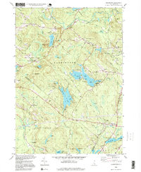
Editions of this 1956 Dover West Map
9 editions found

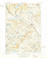
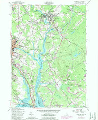
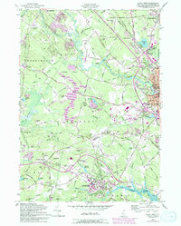
Historical Maps of Dover Through Time
49 maps found
1919 Alton
Strafford County, NH
1950 Dover East
Strafford County, NH
1952 Dover West
Strafford County, NH
1956 Dover East
Strafford County, NH
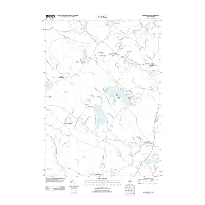
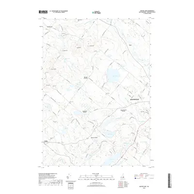
1956 Dover West
Strafford County, NH
1957 Alton
Strafford County, NH
1977 Dover East
Strafford County, NH
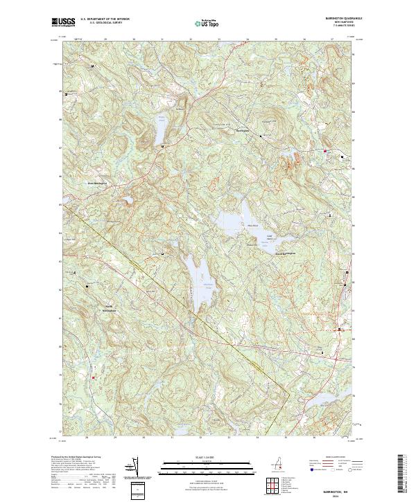
1981 Barrington
Strafford County, NH
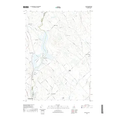
1983 Milton
Strafford County, NH
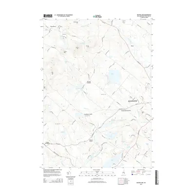
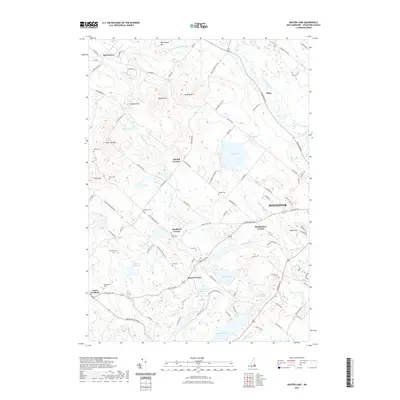
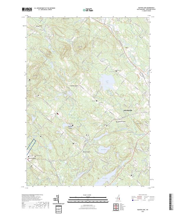
1987 Baxter Lake
Strafford County, NH
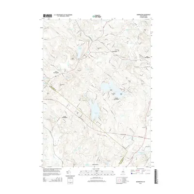
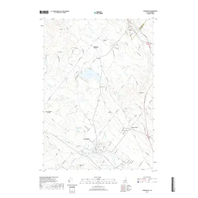
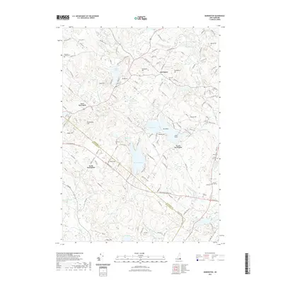
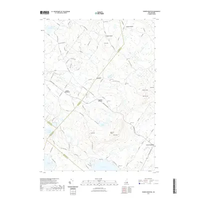
1987 Farmington
Strafford County, NH
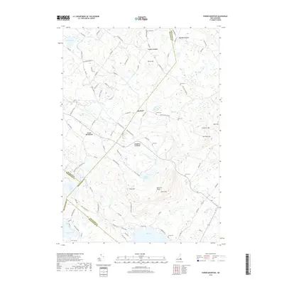
1987 Parker Mountain
Strafford County, NH
1995 Barrington
Strafford County, NH
2000 Farmington
Strafford County, NH
2012 Barrington
Strafford County, NH
2012 Baxter Lake
Strafford County, NH
2012 Dover East
Strafford County, NH
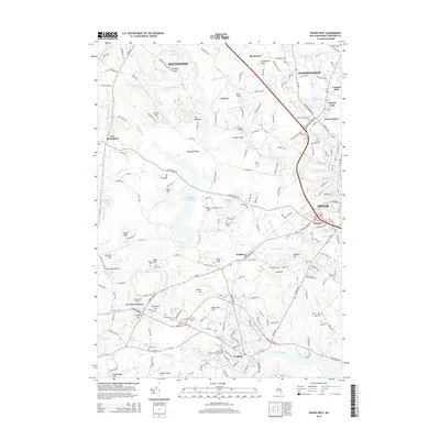
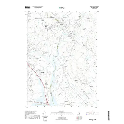
2012 Dover West
Strafford County, NH
2012 Farmington
Strafford County, NH
2012 Milton
Strafford County, NH
2012 Parker Mountain
Strafford County, NH
2015 Barrington
Strafford County, NH
2015 Baxter Lake
Strafford County, NH
2015 Dover East
Strafford County, NH
2015 Dover West
Strafford County, NH
2015 Farmington
Strafford County, NH
2015 Milton
Strafford County, NH
2015 Parker Mountain
Strafford County, NH
2018 Barrington
Strafford County, NH
2018 Baxter Lake
Strafford County, NH
2018 Dover East
Strafford County, NH
2018 Dover West
Strafford County, NH
2018 Farmington
Strafford County, NH
2018 Milton
Strafford County, NH
2018 Parker Mountain
Strafford County, NH
2021 Barrington
Strafford County, NH
2021 Baxter Lake
Strafford County, NH
2021 Dover East
Strafford County, NH
2021 Dover West
Strafford County, NH
2021 Farmington
Strafford County, NH
2021 Milton
Strafford County, NH
2021 Parker Mountain
Strafford County, NH
2024 Barrington
Strafford County, NH
2024 Baxter Lake
Strafford County, NH
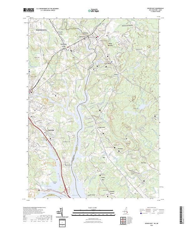
2024 Dover East
Strafford County, NH

2024 Dover West
Strafford County, NH
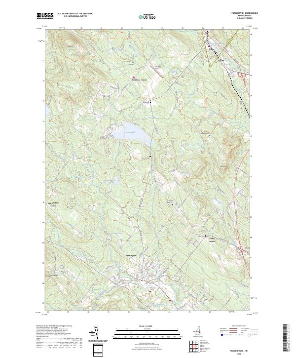
2024 Farmington
Strafford County, NH
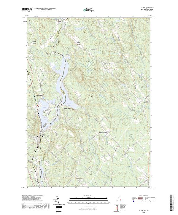
2024 Milton
Strafford County, NH
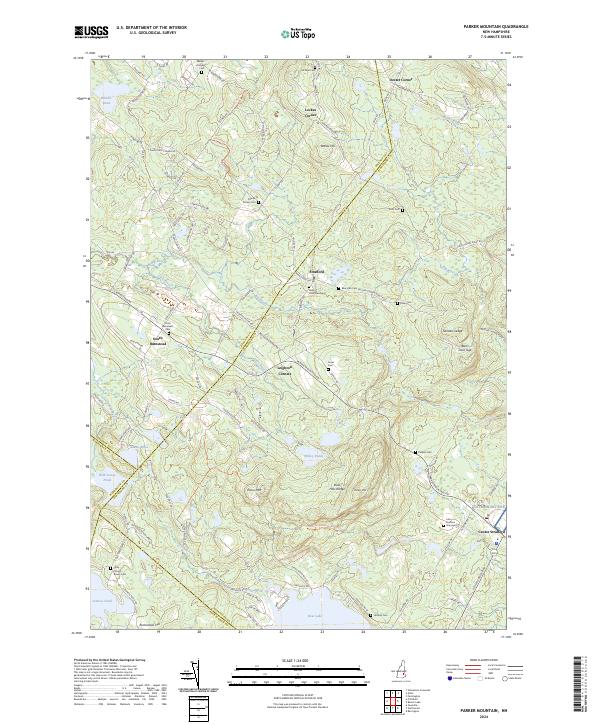
2024 Parker Mountain
Strafford County, NH