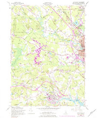
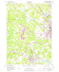
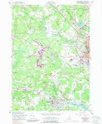
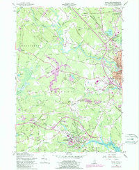
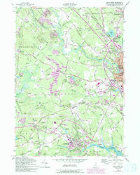
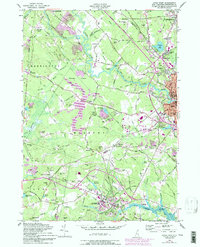
1956 Map of Dover West
USGS Topo · Published 1989About this map
The University of New Hampshire campus and the surrounding Strafford County landscape are documented here in the mid-1950s, with later updates showing the expansion of the Spaulding Turnpike. The map reveals a transition from the industrial centers of Dover and Somersworth to the academic and agricultural character of Durham and Madbury. This era shows the Boston and Maine Railroad still serving as a major transport artery, cutting through the river-dominated terrain of the Cocheco River and Bellamy River.
Find a feature on this map
112 named features on this map. Tap any name to fly to it.
Don’t see what you’re looking for? This feature index may not catch every label — zoom into the map to look around manually.
Map Details
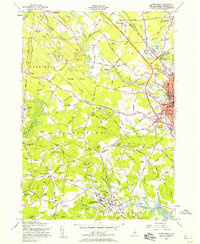
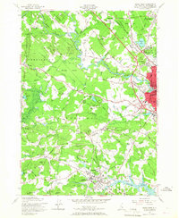
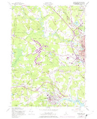
Editions of this 1956 Dover West Map
9 editions found
Other maps of this area

1891 · Berwick
USGS Topo · 1:62,500

1893 · Dover
USGS Topo · 1:62,500

1893 · Berwick
USGS Topo · 1:62,500

1916 · Dover
USGS Topo · 1:62,500

1917 · Mt. Pawtuckaway
USGS Topo · 1:62,500

1918 · Dover
USGS Topo · 1:62,500

1919 · Mt. Pawtuckaway
USGS Topo · 1:62,500

1919 · Alton
USGS Topo · 1:62,500

1933 · Berwick
USGS Topo · 1:48,000

1937 · Berwick
USGS Topo · 1:62,500