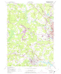
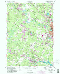
1956 Map of Dover West
USGS Topo · Published 1974About this map
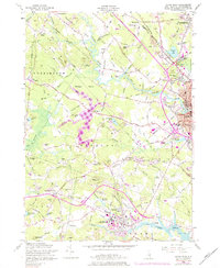
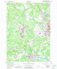
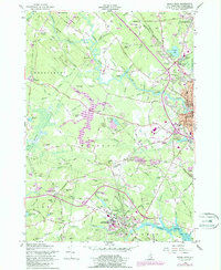
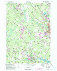
Somersworth and Dover anchor this mid-century landscape of Strafford County, where industrial centers meet the rolling hills of the Mallego Plains. The University of New Hampshire campus in Durham is a prominent feature, surrounded by family-named landmarks and rural settlements like Madbury and East Barrington. The waterway network is dense, with the Cocheco River and Bellamy River carving through the terrain, while the Boston and Maine Railroad and the newly revised Spaulding Toll Road illustrate the region's evolving transportation infrastructure.
Find a feature on this map
123 named features on this map. Tap any name to fly to it.
Don’t see what you’re looking for? This feature index may not catch every label — zoom into the map to look around manually.
Map Details
Editions of this 1956 Dover West Map
9 editions found
Other maps of this area

1891 · Berwick
USGS Topo · 1:62,500

1893 · Dover
USGS Topo · 1:62,500

1893 · Berwick
USGS Topo · 1:62,500

1916 · Dover
USGS Topo · 1:62,500

1917 · Mt. Pawtuckaway
USGS Topo · 1:62,500

1918 · Dover
USGS Topo · 1:62,500

1919 · Mt. Pawtuckaway
USGS Topo · 1:62,500

1919 · Alton
USGS Topo · 1:62,500

1933 · Berwick
USGS Topo · 1:48,000

1937 · Berwick
USGS Topo · 1:62,500