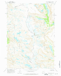
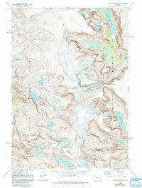
1968 Map of Downs Mountain
USGS Topo · Published 1975About this map
The Continental Divide winds through this high-altitude landscape of the Wind River Range, marking the boundary between Bridger National Forest and Shoshone National Forest. This 1968 field-checked survey reveals an environment dominated by glacial activity and permanent ice fields, such as Downs Glacier and the Grasshopper Gl. The terrain transitions from the sheer heights of Downs Mountain and Torrey Peak to the expansive, barren reaches of Goat Flat and Ram Flat.
Find a feature on this map
46 named features on this map. Tap any name to fly to it.
Don’t see what you’re looking for? This feature index may not catch every label — zoom into the map to look around manually.
Map Details
Editions of this 1968 Downs Mountain Map
5 editions found
Other maps of this area

1909 · Fremont Peak
USGS Topo · 1:125,000

1955 · Thermopolis
USGS Topo · 1:250,000

1958 · Thermopolis
USGS Topo · 1:250,000

1962 · Thermopolis
USGS Topo · 1:250,000
1968 · Union Peak
USGS Topo · 1:24,000
1968 · Torrey Lake
USGS Topo · 1:24,000
1968 · Ink Wells
USGS Topo · 1:24,000
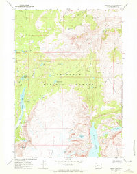
1968 · Simpson Lake
USGS Topo · 1:24,000

1968 · Fremont Peak North
USGS Topo · 1:24,000
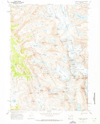
1968 · Gannett Peak
USGS Topo · 1:24,000