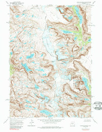
1968 Map of Downs Mountain
USGS Topo · Published 1987About this map
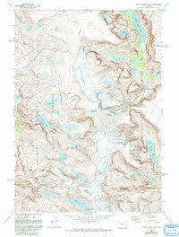
The Continental Divide serves as the central spine of this high-altitude landscape, where the borders of Fremont and Sublette counties meet. Extensive ice fields including the Continental Glacier, Downs Glacier, and Connie Glacier dominate the upper elevations, feeding a network of glacial lakes and high-mountain streams. The map documents a wilderness environment defined by prominent massifs such as Downs Mountain, Torrey Peak, and Yukon Peak, punctuated by geological landmarks like Bears Tooth and the sheer expanse of Ram Flat.
Find a feature on this map
46 named features on this map. Tap any name to fly to it.
Don’t see what you’re looking for? This feature index may not catch every label — zoom into the map to look around manually.
Map Details
Editions of this 1968 Downs Mountain Map
5 editions found
Other maps of this area

1909 · Fremont Peak
USGS Topo · 1:125,000

1955 · Thermopolis
USGS Topo · 1:250,000

1958 · Thermopolis
USGS Topo · 1:250,000

1962 · Thermopolis
USGS Topo · 1:250,000
1968 · Union Peak
USGS Topo · 1:24,000
1968 · Torrey Lake
USGS Topo · 1:24,000
1968 · Ink Wells
USGS Topo · 1:24,000
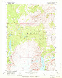
1968 · Simpson Lake
USGS Topo · 1:24,000

1968 · Fremont Peak North
USGS Topo · 1:24,000
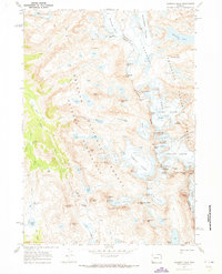
1968 · Gannett Peak
USGS Topo · 1:24,000